
Hiking and Biking in the Army Firing Range – Everything You Need to Know
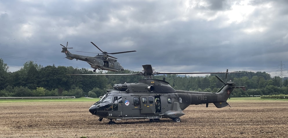
In Switzerland, there are numerous weapons bases of the Swiss Armed Forces. These ranges often include spacious shooting ranges that are regularly closed for shooting drills. On weekends and public holidays, the spaces are open for leisure activities. There are exercises during the week and it is important to find out beforehand if the shooting range is accessible for hiking and cycling. In this article, you’ll find out how and where best to get information.
Shooting ranges and in-line shooting ranges
The surroundings of Isone, Faith Mountain, Sustenpass or Säntisalpen are well-known shooting ranges. There are also beautiful hiking and biking areas. When planning your hike or bike ride in these areas, it is essential that you consider shooting times at the shooting ranges. Otherwise, it may happen that the path on your route is blocked because of the risk of shooting and you have to turn back.
Online platform
The Federal Administration makes a wide range of maps, information and data available to the public on the geo.admin.ch platform. Many hikers and cyclists are familiar with the swisstopo theme map, which can also be found on the online portal. Here you can find out about the current shooting areas before you go hiking or cycling.
Another thematic map is “Published Firing Reports and Danger Zones” of the Swiss Armed Forces. This map can be added via the search function. All danger zones are now marked and it is immediately obvious if your hike or bike ride leads to a shooting range.
List of current filming reports
If your hike or bike ride passes through a restricted area, you can see here if there are any shooting reports. To do this, click on the restricted area on the map and a new information field will appear.
This field indicates which firing range it is, the information center and a link to the current list of shooting reports. The link leads to the following document, where the shooting times and area are clearly indicated. If no documents are listed, ask directly at the information desk. The army is trying to make these weapons sites accessible to the civilian population. But above all, the use by the troops of the Swiss Army.
How are the shooting ranges marked in the area?
During firing, red/white flags, red/white balloons or, at night, three triangular red lights are hoisted or installed in conspicuous places on the edge of the threatened area and in the gun emplacements. Hiking trails are usually marked with signs that say “STOP the danger of shooting”. When hiking and biking in the shooting areas, you should definitely pay attention to the signals.
Never enter the area while filming
If the area is closed or shooting is in progress, you can never enter the firing area. There is a danger to life. It’s best to find out beforehand. And if the area has to be closed after all, turn around. Don’t risk your life hiking or biking at a shooting range.
Beware of misfires
You may encounter misfires in these areas. You should definitely report the discovery. You can report a failed discovery by calling 117 or using your own app (Android, iOS). Under no circumstances should you touch or even dig up the dud as it can still explode. There is more information about misfires on the federal website.
Related Posts

Germ-free water – which method works best?
More than half of all cases of diarrhoea during travel are caused by contaminated

Water bottles made of plastic, aluminium or stainless steel – which material is better?
There are dozens of types of water bottles: they usually differ in size and
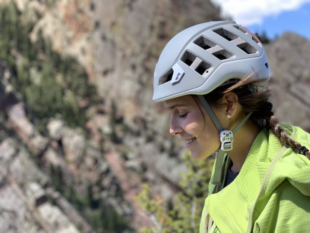
Tips for the right climbing helmet
Anyone who is thinking of getting a (new) climbing helmet for this season will